Washington Map Society
Bob Hansen 3
Terazzo world map in LA
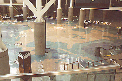
While attending a conference at the Los Angeles convention center in March 2017, I was struck by the images of the South Hall of a map of the world centered on the Pacific Rim. Originally constructed in 1971, the convention center was expanded in 1993 and Los Angeles artist Alexis Smith (https://en.wikipedia.org/wiki/Alexis_Smith_(artist)#Collections) was commissioned to produce this world map which stretches over 50,000 square feet of space across the lobby. Medallions representing Pacific cultural motifs were included as part of the design. Over twenty different marbles, glass, and mother of pearl aggregates were used in the seven unique colors. Additionally, the latest earthquake protection damage control was employed to protect the artwork and when an earthquake occurred in 1994 which collapsed portions of the Santa Monica Freeway, there was no damage to the terrazzo floors. The floor too eighty-nine weeks to complete.
Unfortunately the conference registration blocked much of the world, but I’ve captured a few familiar areas and included an image from the Los Angeles convention center website.
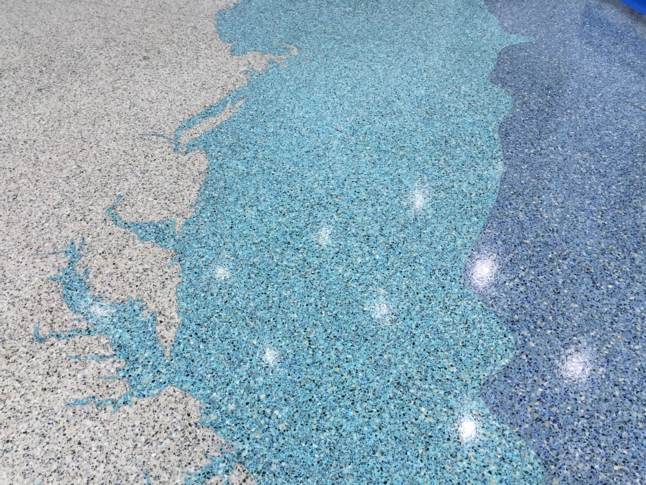
East Coast:
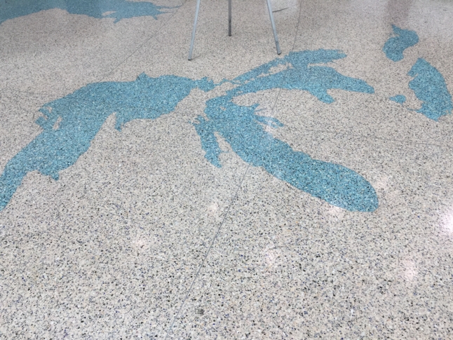
Great Lakes::
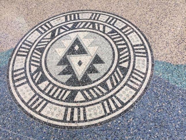
Compass Rose:
Pacific Rim: