Washington Map Society
Bob Hansen 7b
The District Wharf (https://www.wharfdc.com/) is a large, $2 billion development in Washington, DC along the Potomac River that officially opened in October 2017. Among the many new restaurants is Del Mar (https://www.delmardc.com/ ) – a Spanish coastal themed restaurant that reflects the owners traditions and flavors of her home on the island of Mallorca, Spain.
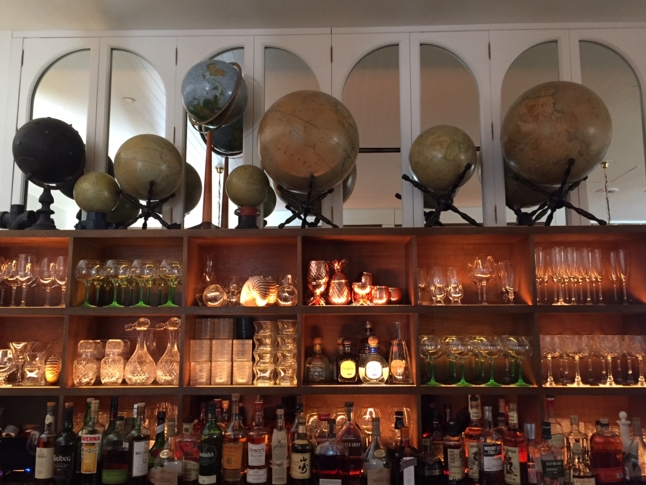
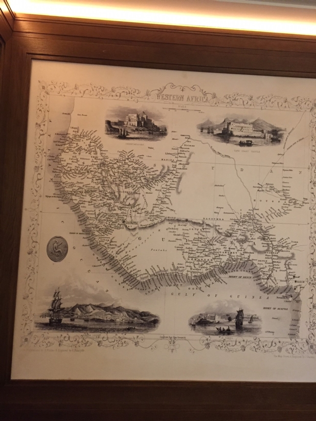
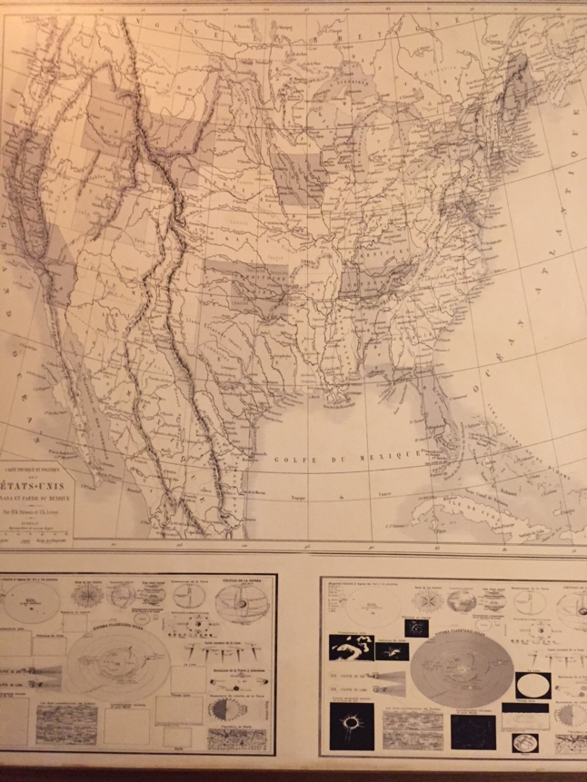
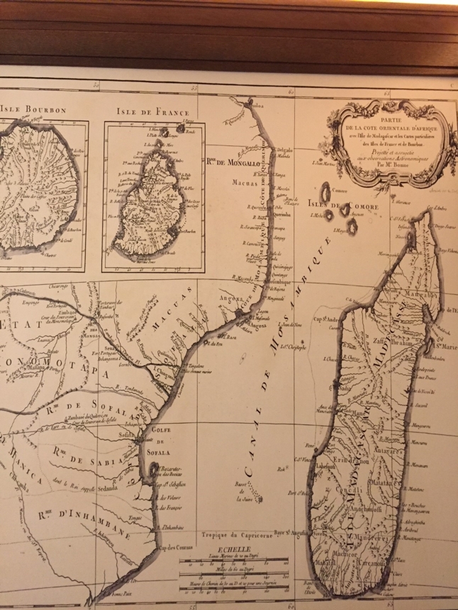
As you enter the restaurant there is a map that can be seen in the background, but it is up in one of the four private rooms (the Nautico Room) that is surrounded by a series of reproduced charts and maps. I was trying to make sense of the subjects selected, but I do believe it was more random based on the designer’s choice of what looked good in the room. There are a few maps published by John Tallis (1815-1876)/John Rapkin, Cartographer) from “The Illustrated Atlas”, first published in 1851 to commemorate the Great Exhibition in London; these include a “Map of Western Africa” and “Islands in the Atlantic” (Azores, Madeira, Bermuda, the Canaries, and Cape Verde). Another Map from Africa included the 1778 Bonne Map of East Africa, Madagascar, Isle Bourbon, Mauritus (Mozambique) which appeared in Jean Lattre’s, “Atlas Moderne ou Collection de Cartes sur Toutes les Parties du Globe Terrestre, 1778. The physical and political map of the United States with parts of Canada and Mexico was produced by Claude Joseph Drioux (1820-1898)-French priest, geographer, cartographer, educator with cartographer Charles Leroy (1844-1895). This map is probably from their “Nouvel Atlas de Géographie Moderne” first printed in 1859. The series of globes sit atop the bar on the second floor where the private rooms are located. I was unable to get a better look to see what they are.