Washington Map Society
Bob Hansen 4
From Bob Hansen:
Bangladesh:
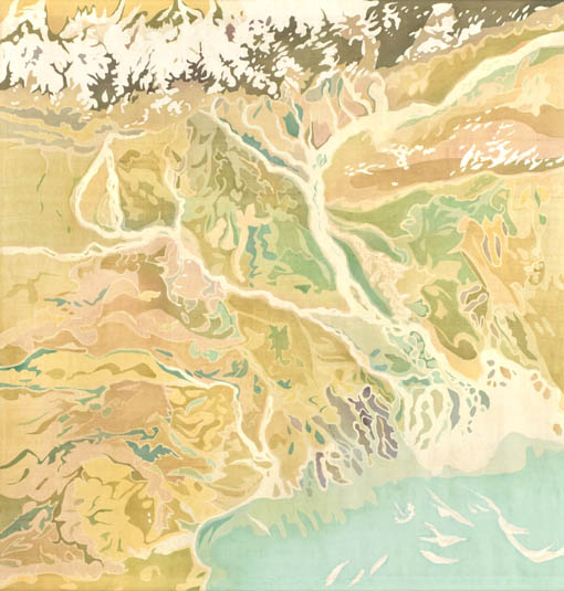
Charleston, Airborne
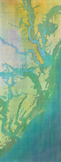
Yukon Delta
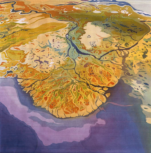
While in Charleston, South Carolina attending the National Marine Educators Association conference in June 2017, I attended a panel discussion which included Mary Edna Fraser a silk batik artist who uses maps, charts and satellite images to create works of art.
From the artist’s statement: “My life’s work is from an aerial perspective, a view of the earth I choose to transcribe onto silk using dyes in the ancient medium of batik. The art comprises a series of narrative landscapes inspired by the terraqueous reaches of the continent, where realms of earth, sea and sky converge. Each area is carefully researched, often by hiking the terrain, exploring the waterways by boat, and painting studies on location. Photographing from the open windows of my grandfather’s 1946 Ercoupe plane with my father or brother as pilots, we explore the natural wonders… I also hire instructors who guide me over their familiar landscape. During an excursion aloft, as many as 500 photographs are taken which will then be reduced to the best designs. An organization of the land emerges revealed only by altitude.
Her works are on permanent display at: NASA Headquarters, Washington, DC; Duke University Marine Laboratory, Beaufort, NC; NOAA Hollings Marine Laboratory, Charleston, SC; the New England Aquarium, Boston, MA; Museum of the Earth, Ithaca, NY and have been featured in temporary exhibits such as the Smithsonian National Air and Space Museum, the National Science Foundation, and the National Academy of Sciences. She is speaking at the 28th International Cartographic Conference in Washington, DC to discuss her artwork, her influences, and her inspiration.
More about her can be found on her website: http://maryedna.com/