Washington Map Society
Four Past Presidents
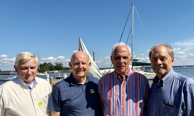
Your humble webmaster was recently made aware of an "impromptu" meeting of four past presidents of the Washington Map Society. Inquiring minds want to know, was it truly impromptu, or was there a sinister and devious purpose - perhaps a coup d’état against our much respected President Dotson and Vice President Johnson? Reported as a “Field Trip” (see below), your webmaster opines that more likely it was a summit, a secret rendezvous, ominous in its meaning for our loyal and supportive membership. Museum visit? Unlikely. Reports indicate furtive behavior and much hushed conversation and suspicious movements. But what were those four REALLY up to? Are they plotting some political move? Are they reviving the earth-centric universe theory? Will they try to disprove the use of the chronometer to establish longitude? That the four quadrant world maps are correct and definitive? That the WMS webmaster is a crackpot fueled by hallucinogens and Red Bull?
Please look carefully at the photo and the guilty expressions on their faces. It is obvious to all they are up to NO good! We must remain UNITED against incursions, power-plays, and infiltrations by the “old guard”!!
Beware, dear membership, and report any odd or disturbing observations (other than the webmasters eccentricities) by clicking on the “Contact Us” button.
As "reported", (but inquiring minds will get to the bottom of this):
Past WMS Presidents Field Trip to St. Michaels, MD (by Tom Sander)
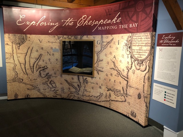
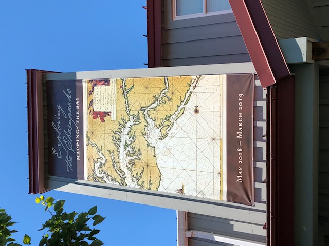
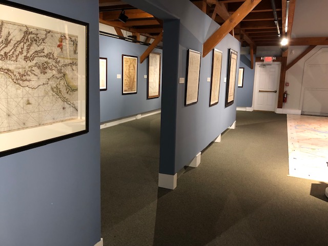
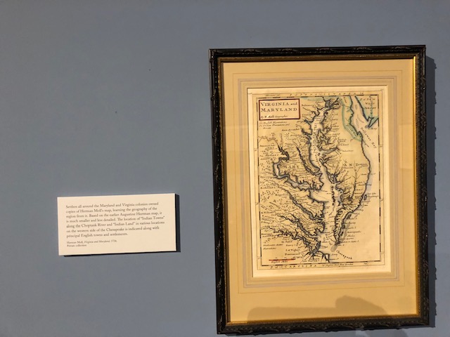
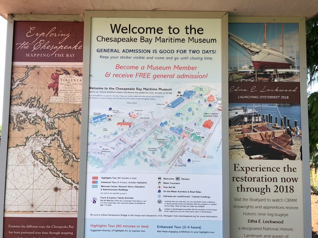
On a beautiful Saturday – September 29, 2018 – four past WMS Presidents made an impromptu field trip to St. Michaels, MD. John Docktor, Bron Percival, Tom Sander and Bill Stanley visited the exhibit of maps currently at the Chesapeake Bay Maritime Museum (CBMM). We all recommend that WMS members consider their own personal trips to this exhibit and quaint village – you will not be disappointed. Photos included.
As noted in The Portolan: “UNTIL MARCH 17, 2019 Exhibition. St. Michaels, Maryland. Exploring the Chesapeake–Mapping the Bay looks at the diverse ways the Chesapeake Bay has been portrayed over time through mapping and charting. The exhibition views changes in maps over time as an expression of what people were seeking in the Chesapeake—for natural resources, for safe passage, or for commercial opportunities. Chesapeake Bay Maritime Museum, 213 North Talbot Street. See http://cbmm.org/news/exploring-chesapeake-mapping-bay-exhibition-opens-may-19/ . See video of exhibit at http://cbmm.org/videos/chesapeake-treasure-maps-charts .
Presidential Photo Credit:
(L-R) Bill Stanley, Tom Sander, John Docktor and Bron Percival