Washington Map Society
Bob Hansen 8
Your webmaster asked Bob to give us a few bio lines as I find his topics very interesting and varied:
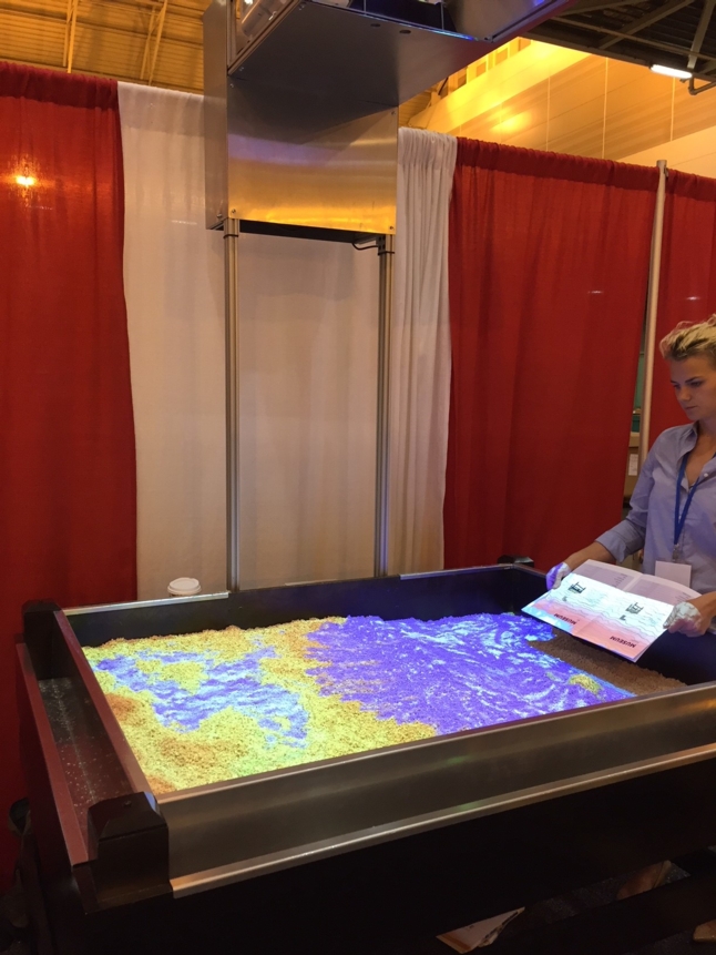
"I have attended a number of mapping, charting, and GIS conferences over the years and an unusual hands-on exhibit that has been showing up to help teach students learn about mapping is an augmented reality sandbox. Where I work at NOAA - the National Oceanic & Atmospheric Administration...the Federal earth systems science agency that studies the bottom of the ocean to the surface of the sun, our Office of Coast Survey...where nautical charts of our nation's coast are produced has one of these which is used as a teaching tool at open houses and other public outreach events."
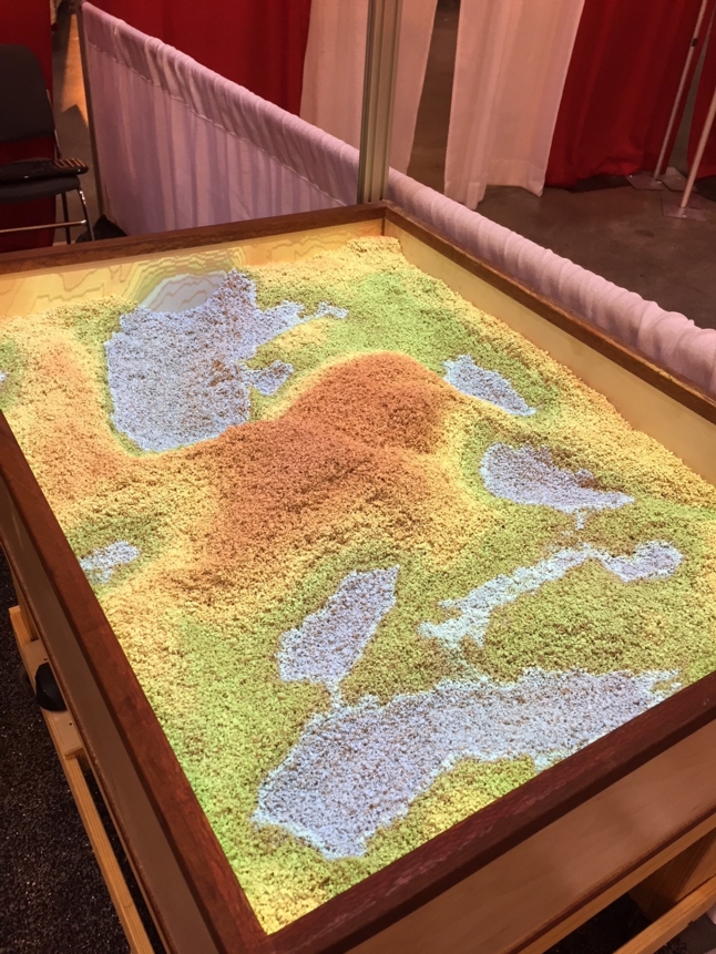
Topography and Maps come alive - Augmented Reality Sandbox
The Augmented Reality Sandbox was developed around 2012 by the University of California Davis W.M. Keck Center for Active Visualization in the Earth Sciences and funded by the National Science Foundation. I have seen a number of these over the past few years…and this is one I saw at a recent trade show in New Orleans.
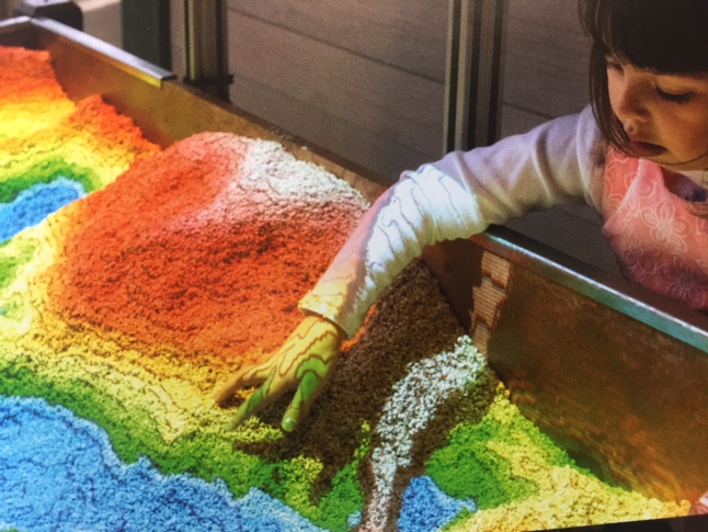
It is a ‘hands-on’ educational display that teaches topography, hydrology, geomorphology, and land management. There are a number of examples where you can build your own starting with:
- A first generation Kinect
- A short-throw digital projector
- A sandbox for your sand
- At least 200 lbs of white sand
- A Linux-friendly computer with fast NVIDA GPU, running Ubuntu
There are also a number of companies that have created their own version…and the prices typically range (in 2017) starting from $6500 and up. One advancement is the use of paper pulp instead of sand.
I see these now in Science centers and childrens museums around the country. A YouTube describing it can be found here (skip the ad that first appears): https://www.youtube.com/watch?v=bA4uvkAStPc . A little more serious discussion about them can be seen here: https://www.youtube.com/watch?v=YYcjDqZCXVE