Washington Map Society
Bob Hansen 6
From our reliable and much traveled correspondent Bob Hansen:
Old Sturbridge Village:
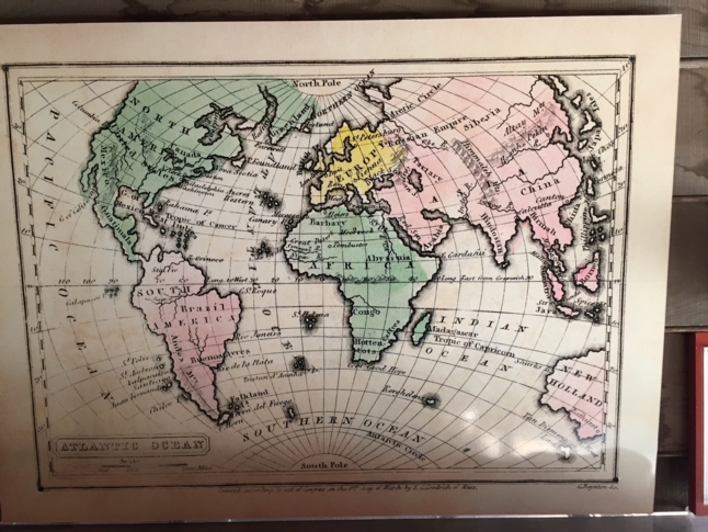
While on a recent visit to Old Sturbridge Village in Sturbridge, Massachusetts (https://www.osv.org/) I came across this map reproduction in the old schoolhouse. Old Sturbridge Village is an “1830s New England Living History Museum” - All of their buildings and artifacts are as close to the target year of 1835. When I saw this map of the Atlantic Ocean by Samuel Goodrich, I thought it a bit elementary and crude for the era. However, upon a little further research, this is indeed a map produced in 1831, published by Gray and Bowen and was included in “An Economical Atlas – for the use of families and young persons". Curiously, there are other maps by Goodrich dated 1830 that have better accuracy and more detail.